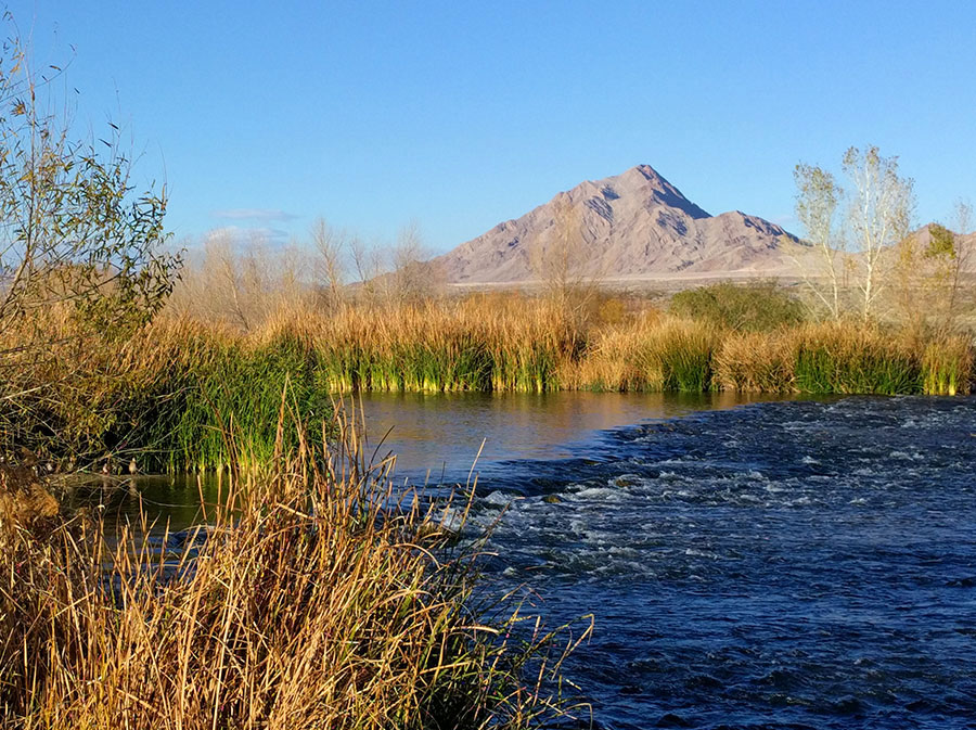
Clark County Wetlands Loop Trail Hiking

Location info is only a rough approximation. Always double check data before starting a trip.
Clark County Wetlands Loop Trail Hike Details
Region: Las Vegas metro area
Difficulty: 1 / 10
Danger: 1 / 10
Class: 1
Gain: 90 feet
Distance (round trip): 1.0 miles
Hours estimated to complete: 1 hrs
Summit Coordinates: 36.1011350, -115.0231580
Elevation: 1,643 feet
Notes: Paved hike leading to a bridge with a small man-made waterfall and river. Wildlife includes various birds, rabbits, coyote.
DISCLAIMER: Hiking is a dangerous activity which may result in serious injury or death. You are solely responsible for your own health and safety. If you attempt to find hikes on your own without an experienced guide or without experience yourself, you risk injury to yourself, to others, and/or property. Your use of this website constitutes agreement in our 'terms of use' which is that you agree you are solely responsible for you and we are not liable for any predicament you put yourself in. Information on this website is subject to errors, change, and no warranty exists for its accuracy. Information shown on this website is for experienced hikers only.


