Charleston Peak Hiking
Location info is only a rough approximation. Always double check data before starting a trip.
Charleston Peak Hike Details
Region: Mount Charleston
Exposure: 2 / 10
Difficulty: 10 / 10
Danger: 7 / 10
Class: 1
Gain: 3,550 feet
Distance (round trip): 17.0 miles
Hours estimated to complete: 9 hrs
Summit Coordinates: 36.2714770, -115.6954720
Elevation: 11,918 feet
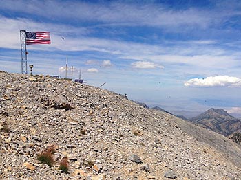
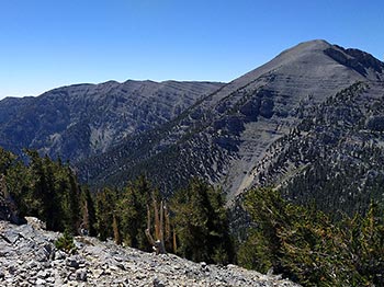
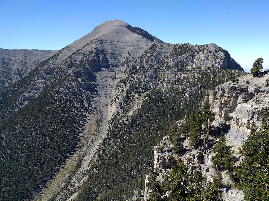
Overview: Mount Charleston, officially named Charleston Peak, is the highest mountain in both the Spring Mountains and Clark County, in Nevada, United States. It is the eighth highest mountain in the state.
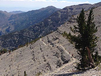
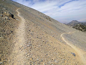
Notes: Very long, but non-technical trail to the summit via trail canyon. Devil's thumb is an optional shortcut that is class 4 with exposure. The trail has some exposure as it navigates through the cliffs below Lee peak. Risk of altitude sickness at the top and preventative measures are needed, such as prior high altitude training or ibuprofen to improve blood flow to the brain. Limiting the time spent at the summit may also help limit adverse effects.
Trailhead info: North Loop Trail, Mt. Charleston
DISCLAIMER: Hiking is a dangerous activity which may result in serious injury or death. You are solely responsible for your own health and safety. If you attempt to find hikes on your own without an experienced guide or without experience yourself, you risk injury to yourself, to others, and/or property. Your use of this website constitutes agreement in our 'terms of use' which is that you agree you are solely responsible for you and we are not liable for any predicament you put yourself in. Information on this website is subject to errors, change, and no warranty exists for its accuracy. Information shown on this website is for experienced hikers only.


