McFarland Peak Hiking

Location info is only a rough approximation. Always double check data before starting a trip.
McFarland Peak Hike Details
Region: Mount Charleston
Exposure: 6 / 10
Difficulty: 8 / 10
Danger: 6 / 10
Class: 3
Gain: 3,500 feet
Distance (round trip): 8.0 miles
Hours estimated to complete: 8 hrs
Summit Coordinates: 36.3413860, -115.7255520
Elevation: 10,745 feet
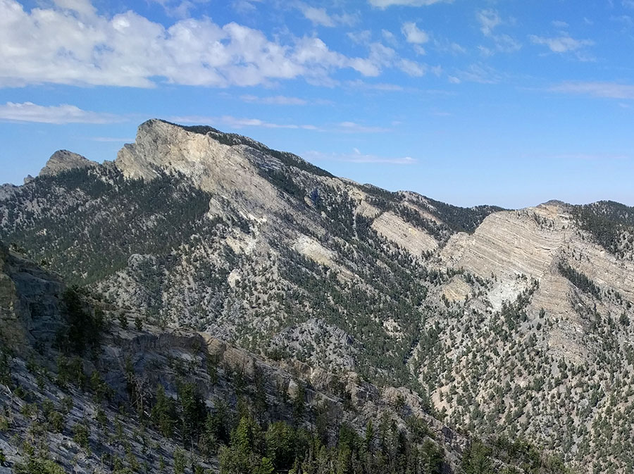
Overview: McFarland Peak is a limestone peak in the northern portion of the Spring Mountains in Clark County of southern Nevada. It is in the Toiyabe National Forest and the Mount Charleston Wilderness. McFarla
Notes: Long drive. 2 short class 3-4 upclimbs. One main tricky section which is about a 8' ledge to downclimb is hard, because you can't see the footholds. You can't really face out, because of the square shape of rock. No good place to fix webbing either- just help each other in group. Another is smooth a
HCV Required
DISCLAIMER: Hiking is a dangerous activity which may result in serious injury or death. You are solely responsible for your own health and safety. If you attempt to find hikes on your own without an experienced guide or without experience yourself, you risk injury to yourself, to others, and/or property. Your use of this website constitutes agreement in our 'terms of use' which is that you agree you are solely responsible for you and we are not liable for any predicament you put yourself in. Information on this website is subject to errors, change, and no warranty exists for its accuracy. Information shown on this website is for experienced hikers only.


